
What we’ve seen so far, Part IV
Last week I wrote about using really simple approaches to interpret camera trap data. Doing so makes the cameras a really powerful tool that virtually any research team around the world can use to quickly survey an ecosystem.
Existing monitoring projects in Serengeti give us a really rare opportunity to actually validate our results from Snapshot Serengeti: we can compare what we’re seeing in the cameras to what we see, say, from radio-tracking collared lions, or to the number of buffalo and elephants counted during routine flight surveys.
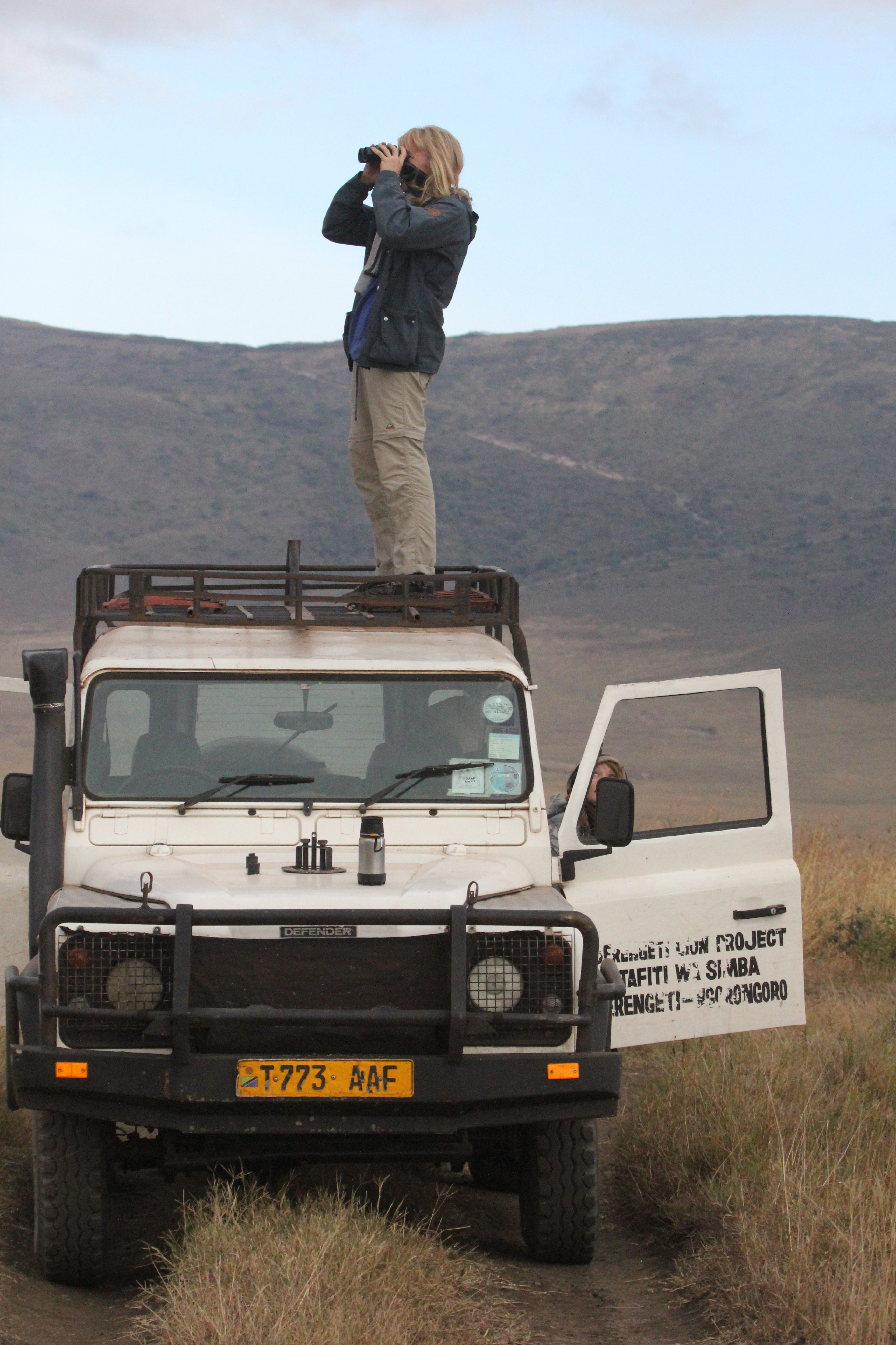
Ingela scanning for lions from the roof of the car.
One of the things we’ve been hoping to do with the cameras is to use them to understand where species are, and how those distributions change. As you know, I’ve struggled a bit with matching lion photographs to known lion ranging patterns. Lions like shade, and because of that, they are drawn to camera traps on lone, shady trees on the plains from miles and miles away.
But I’ve finally been able to compare camera trap captures to know distributions for other animals. Well, one other animal: giraffes. From 2008-2010, another UMN graduate student, Megan Strauss, studied Serengeti giraffes and recorded where they were. By comparing her data with camera trap data, we can see that the cameras do okay.
The graph below compares camera trap captures to known densities of giraffes and lions. Each circle represents a camera trap; the bigger the circle, the more photos of giraffes (top row) or lions (bottom row). The background colors reflect known relative densities measured from long-term monitoring: green means more giraffes or lions; tan/white means fewer. For giraffes, on the whole, we get more giraffe photos in places that have more giraffes. That’s a good sign. The scatterplot visualizes the map in a different way, showing the number of photos on the y-axis vs. the known relative densities on the x-axis.

What we see is that cameras work okay for giraffes, but not so much for lions. Again, I suspect that this has a lot to do with the fact that lions are incredibly heat stressed, and actively seek out shade (which they then sleep in for 20 hours!). But lions are pretty unique in their extreme need for shade, so cameras probably work better for most other species. We see the cameras working better for giraffes, which is a good sign.
We’ve got plans to explore this further. In fact, Season 7 will overlap with a wildebeest study that put GPS collars on a whole bunch of migratory wildebeest. For the first time, we’ll be able to compare really fine scale data on the wildebeest movements to the camera trap photos, and we can test even more precisely just how well the cameras work for tracking large-scale animal movements. Exciting!
Data-palooza
You might remember the Kibumbu pride from their rather gruesome encounter with a leopard. But probably not – that was a long time ago.
They now have a new claim to fame. As of April 22, 2013, the Kibumbu lions became the first Serengeti pride to bear a GPS collar. GPS collars are cool, but if you are a nerd like me, and trying to calibrate 225 camera traps against the known reality of animal movements, GPS collars are really [expletive deleted] cool.
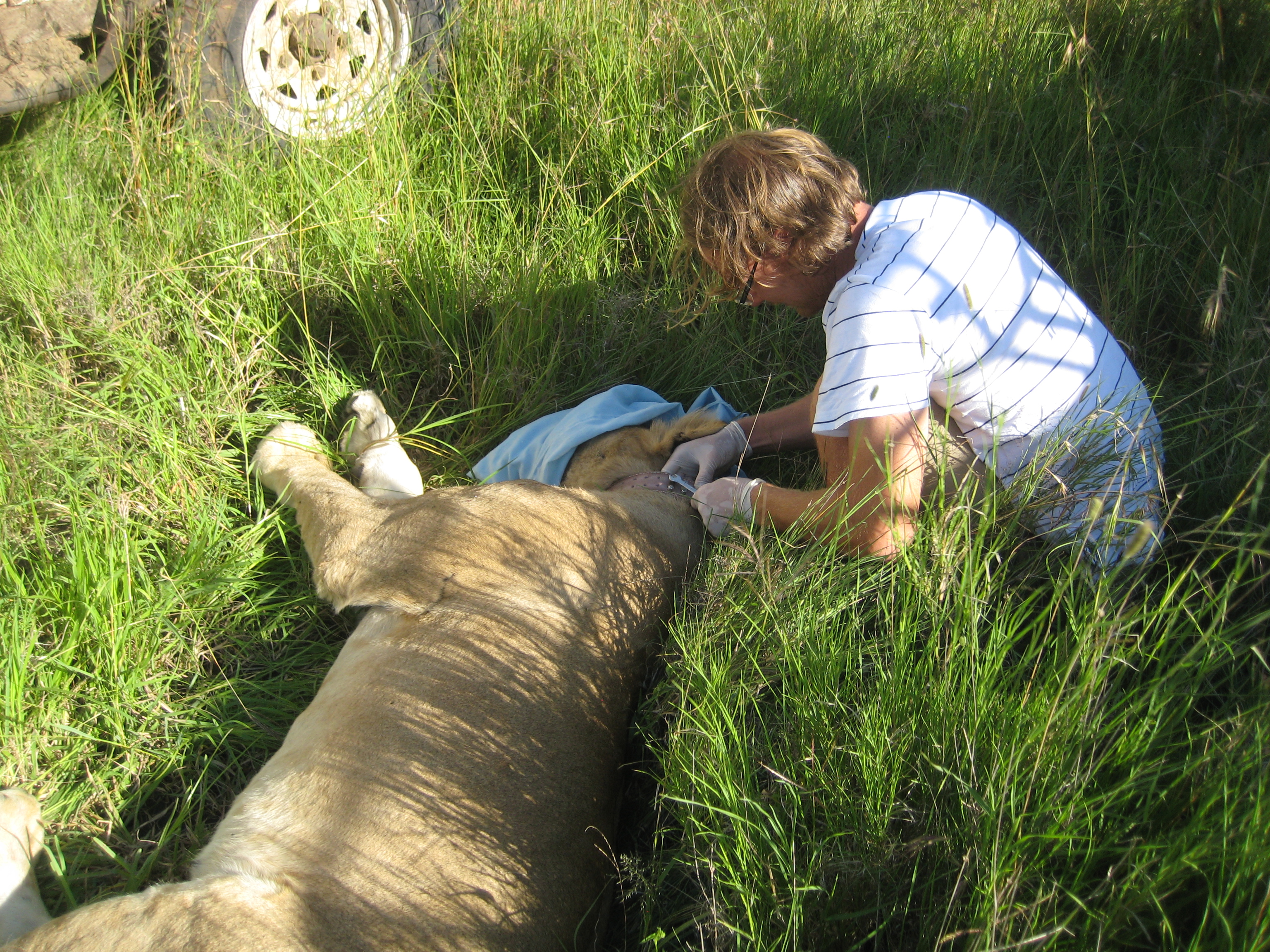
Daniel collaring a study lion
With regular old radio-collars, we have to get out in the field, driving (seemingly aimlessly to bystanders) in circles on hills until we get a signal in the direction of a given lion pride. With 26 prides being monitored now, we get to each pride about once a week. But with GPS collars, the data comes to US. On it’s own. EVERY HOUR. I can tell you where the lions are without ever leaving my hyena-chewed, baboom-mangled armchair. Data of this richness are simply impossible to get otherwise. I tried a few “all-night follows” – trying to serve as a living GPS collar. Trying to figure out why, when lions are lurking 300 meters from a camera trap, they don’t appear in it. I usually fall asleep by 9pm. Apparently I don’t make a very good GPS collar.
You might wonder why on earth we don’t have 26 GPS collars, instead of 1. Unfortunately, they are expensive (read >$5,500 a pop), and the battery life doesn’t last as long as regular old VHF collars, meaning we would have to dart lions more often – which is a stress that we like to minimize. But Ingela Janssen had an extra collar from her conservation work in the Ngorongoro Conservation Area, and the chance of calibrating camera trap captures against hourly lion movements was too good to pass up!
Here’s the first map of Kibumbu’s movements. The first position came in at 6pm on April 22, and the last was recorded on the 23rd at 9pm. Since lions are nocturnal, we take one position every hour from 6pm to 7am, and then one position during the day (at noon). You can see from the lines that lions can move quite a ways without actually getting very far.

Kibumbu’s first GPS recorded movements
And here’s their latest map.

And the last few weeks…
I realize that these graphics don’t give you any sense of where in the study area the lions are. Until I figure out how to work some really cool magic with Google Earth, here’s a map of where the cameras are. You can see from Kibumbu’s maps that they are hanging out along a (sometimes dry) river – the Ngare Nanyuki – which I’ve circled in red on this camera layout map.

Camera Traps – Ngare Nanyuki River circled
The GPS collar won’t show up until Season 6 camera photos — but it looks a bit different from our normal collars with two big lumps instead of one:

Vectronic GPS collar – stock image
So keep your eyes peeled!
